
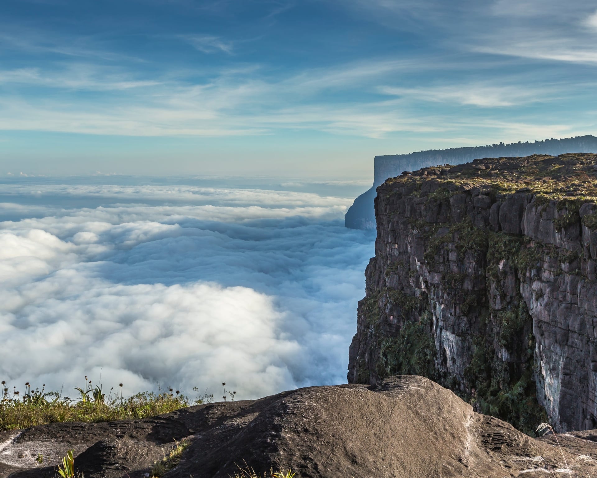
Learn key facts about Mount Roraima, including its formation, height, location, what’s up there, and how to experience it responsibly
Mount Roraima is one of the most fascinating places in South America. From ancient geology to rare animals and Indigenous culture, there’s more to it than meets the eye.
Its isolation, ecosystem, and sheer cliffs have inspired curiosity and scientific studies for many years. Whether you’re planning a trip or just want to learn more, PlanetaEXO, an ecotourism platform specializing in Mount Roraima tours, breaks down everything you need to know about this fantastic destination.
Check out 10 facts about Mount Roraima below!
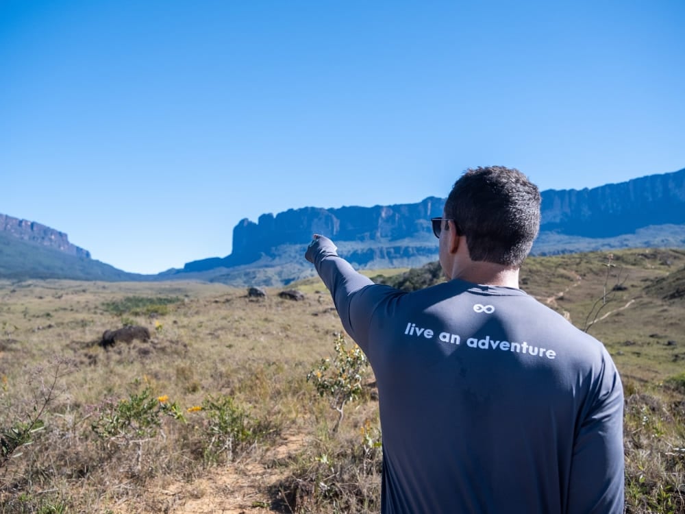
1. Triple border: Brazil, Venezuela, and Guyana
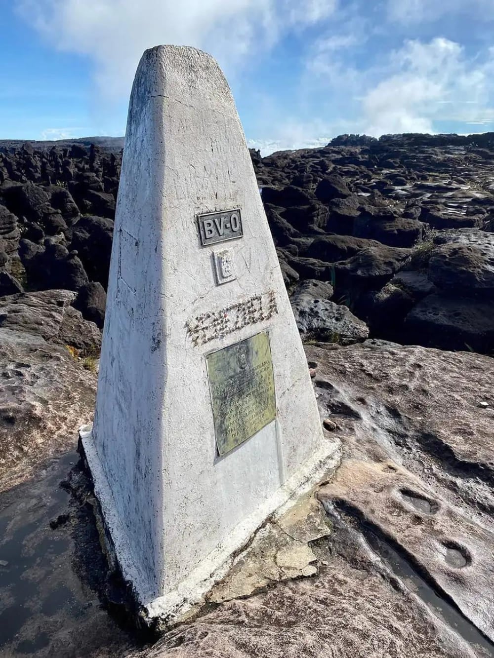
Mount Roraima straddles the borders of Brazil, Venezuela, and Guyana, though most of its mass is located inside Venezuelan territory. The meeting point of the three countries is marked by a pyramidal concrete monument. You can’t miss it!
The most common trekking route begins in Venezuela, departing from the village of Paraitepuy, which is accessible via Santa Elena de Uairén. For travelers coming from Brazil, the most recommended starting point due to logistics, the nearest major city is Boa Vista, in the state of Roraima.
From there, it’s a 3-hour drive to the Venezuelan border and then 20 minutes to reach Santa Elena.
👉 Read more: How to get to Mount Roraima?
2. Formed over 2 billion years ago
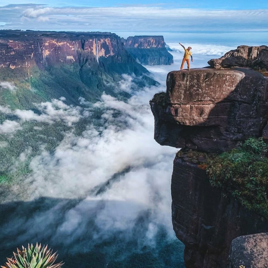
Mount Roraima is part of the Guiana Shield, one of the most ancient geological formations on Earth. It dates back over 2 billion years, making its rock layers older than most mountain ranges on the planet.
The marks of time are visible in its very shape. Geologists explain the top of Roraima’s flatness through erosion. Horizontal layers of sandstone have eroded evenly over time, unlike volcanic or folded mountains that form jagged peaks.
The plateau consists of resistant quartzitic sandstone, which erodes slowly and uniformly. Beneath it lies a hard igneous basement, which helps preserve the flat structure. This combination prevents the formation of peaks, resulting in the mountain’s striking tabletop shape.
3. 2,810 meters above sea level
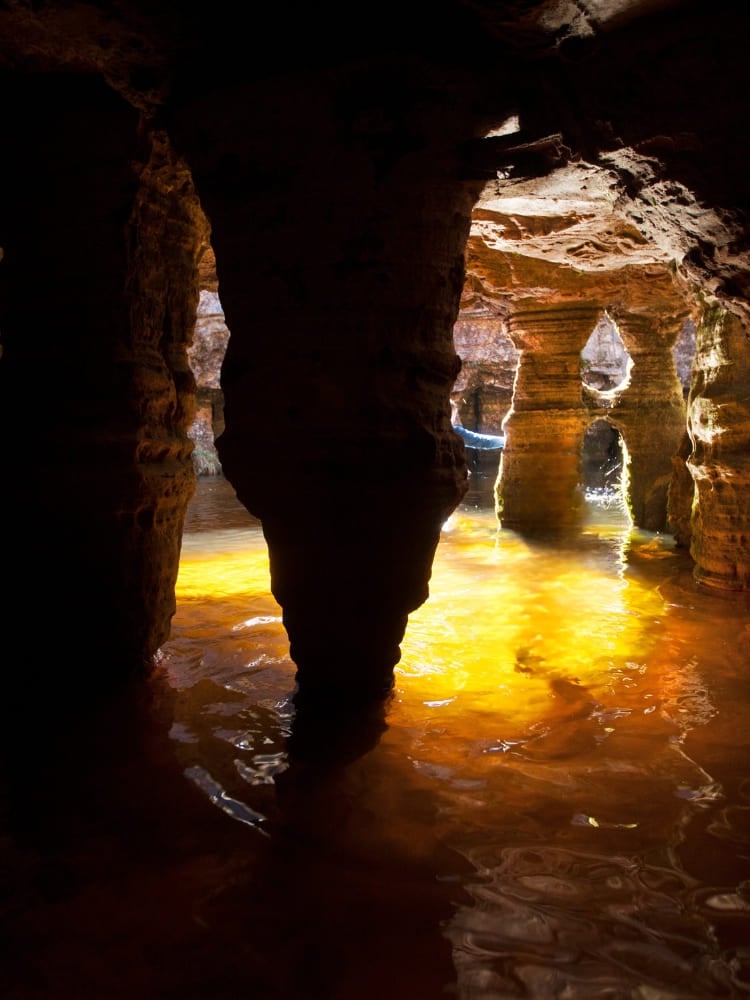
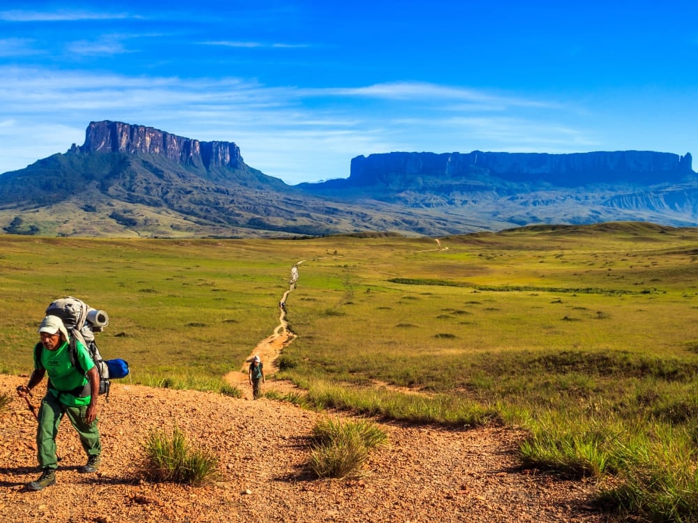
Ever wondered about Mount Roraima’s height? It reaches an impressive 2,810 meters (9,219 feet) above sea level, with cliffs that rise nearly 400 meters from the base, making it the highest tepui in the Pakaraima mountain range.
Although it’s not the tallest mountain in South America, the title belongs to the 6,961-meter Aconcágua in Mendoza, Argentina, its shape and prominence make it one of the most striking.
👉 Learn more about trekking in Mount Roraima:
- Mount Roraima Trek: 8-Day Expedition to the Lost World
- Mount Roraima Hike: 10-Day Makunaima Expedition
4. Mount Roraima’s Indigenous communities protect its legacy
Mount Roraima is surrounded by Indigenous communities who live there, including the Pémon, Kapon, and Taurepang.
The Pémon and Taurepang belong to the Carib (Karib) linguistic and cultural group, while the Kapon are part of the Akawaio-speaking peoples, who are also often classified within the Carib family.
These groups are the traditional custodians of the land and hold deep spiritual ties to the mountain. They play a vital role in sustainable tourism as well, not only guiding visitors but also providing the logistics that make the trek possible: carrying equipment, setting up tents, preparing meals, and facilitating access to remote areas.
Their work ensures tourism benefits local economies while preserving both the environment and cultural heritage.
5. The Tree of Life, one of Mount Roraima’s mysteries
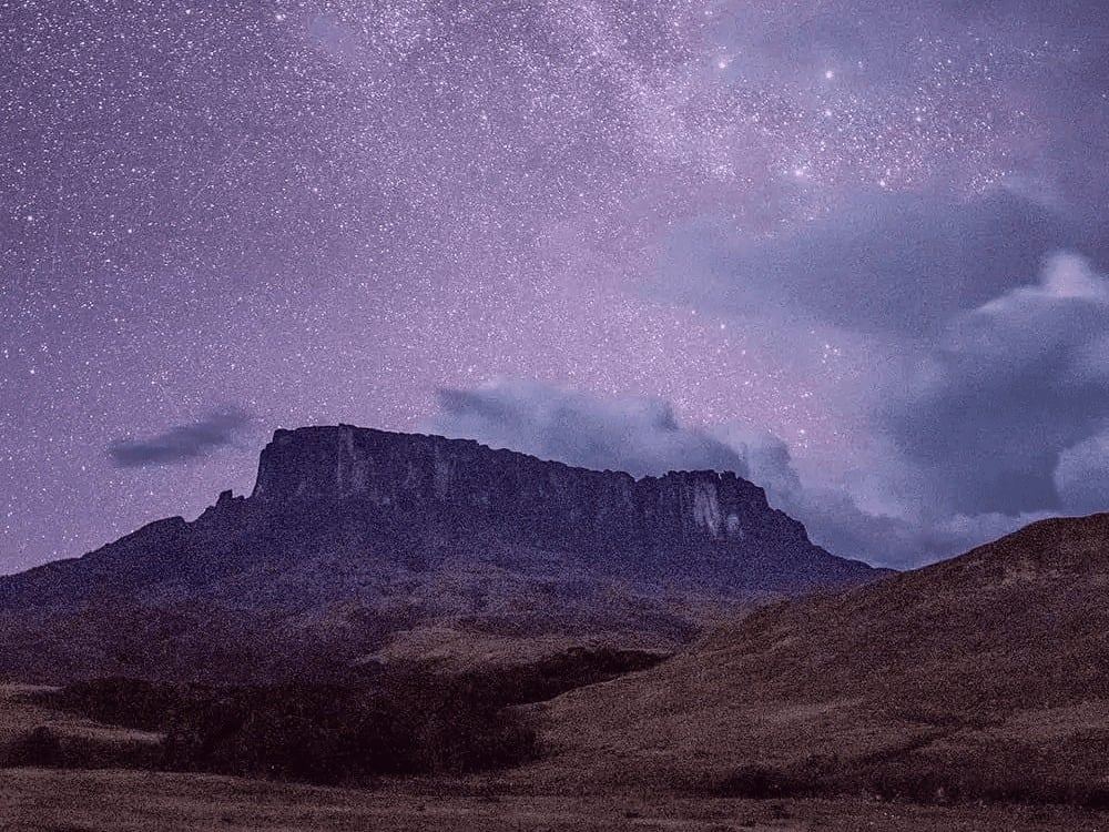
One of the most enduring aspects of Mount Roraima is the mystery surrounding its symbolic meaning. In Indigenous mythology, the mountain is believed to be the trunk of the “Tree of Life” (also called the Tree of All Fruits), a sacred figure from which the world’s fruits once originated. Makunaíma, the powerful indigenous hero, serves as its guardian.
This idea has gained attention in recent years as visitors reflect on the mountain’s otherworldly terrain. The concept of a “living origin” resonates with those seeking spiritual connection in natural spaces. Additionally, some indigenous people also refer to the mountain as the “house of the gods.”
6. Inspiration for Pixar’s Up (and other fictional stories)
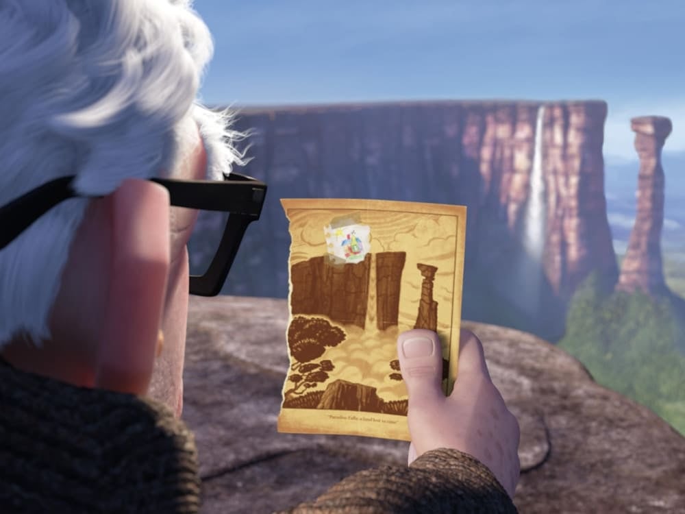
Did you know that Mount Roraima was one of the main inspirations for Pixar’s animated film Up? The movie’s iconic “Paradise Falls” was modeled after the tepuis of the Guiana Shield, especially Roraima, with its vertical cliffs, flat summit, and dramatic waterfalls.
The destination also served as inspiration for various other literary and audiovisual works. The most famous is the book The Lost World, written in 1912 by Sir Arthur Conan Doyle. Years later, it served as the basis for Jurassic Park.
In Brazil, the hero Makunaíma is reimagined as an anti-hero in the classic Macunaíma, written in 1928 by Mário de Andrade. More recently, in the 2014 soap opera Império, Mount Roraima plays a major role in the plot.
7. Typical flora of tepuis
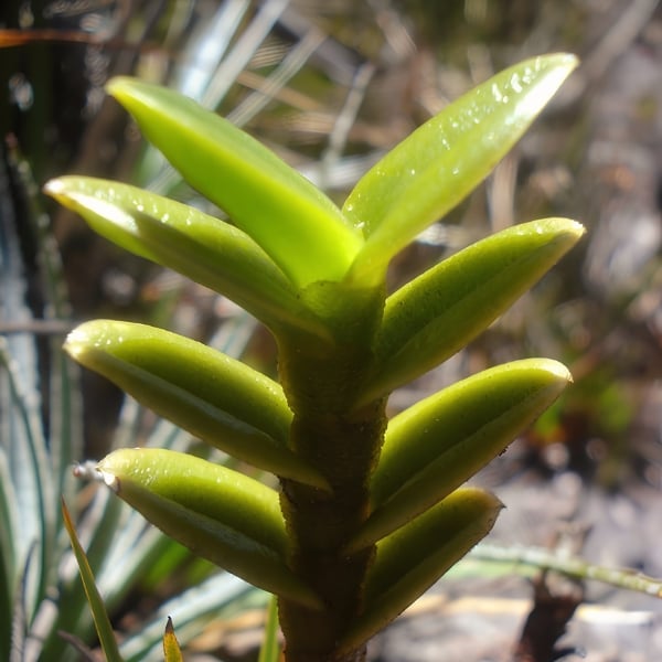
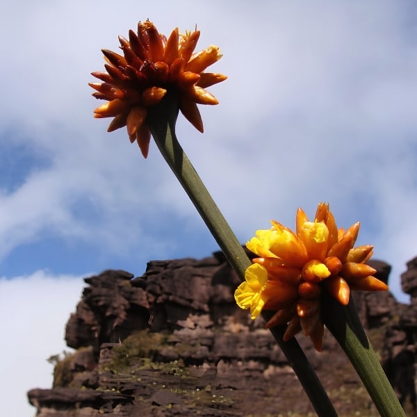
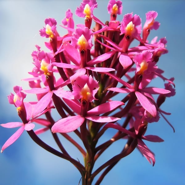
A significant portion of Mount Roraima’s flora is found only in the Pantepui, the cluster of tepuis in South America, located primarily between Venezuela and northern Brazil.
Certain species stand out, such as the pitcher plant (Heliamphora nutans), a carnivorous plant discovered in 1839 by the naturalist brothers Robert and Moritz Schomburgk. Also noteworthy is Brocchinia reducta, one of the few carnivorous bromeliads on the planet.
Other species are also commonly found on Roraima’s summit, including Bonnetia roraimae, Drosera roraimae, and Utricularia quelchii.
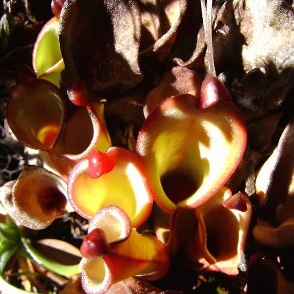
8. Native wildlife at the summit
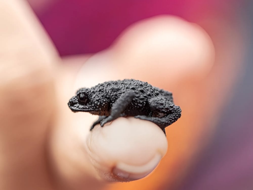
Contrary to what is suggested in the fantastical universe of Conan Doyle’s The Lost World, Mount Roraima’s animals are not big. Its cold, wet, and windy climate, combined with a lack of fertile soil, cannot support the biomass required for large predators or herbivores. In other words, the local fauna is miniature in scale.
Amphibians constitute the most notable group, with an endemism rate of 77%. The Roraima bush toad (Oreophrynella quelchii), measuring just 2 to 3 centimeters, was one of the first species to be officially cataloged.
Other species found exclusively on the Pantepui include the Tepui swift (Streptoprocne phelpsi), the Roraima mouse (Podoxymys roraimae), and the greater flowerpiercer (Diglossa major).
9. Find rock formations, natural pools, and the iconic Crystal Valley at the top
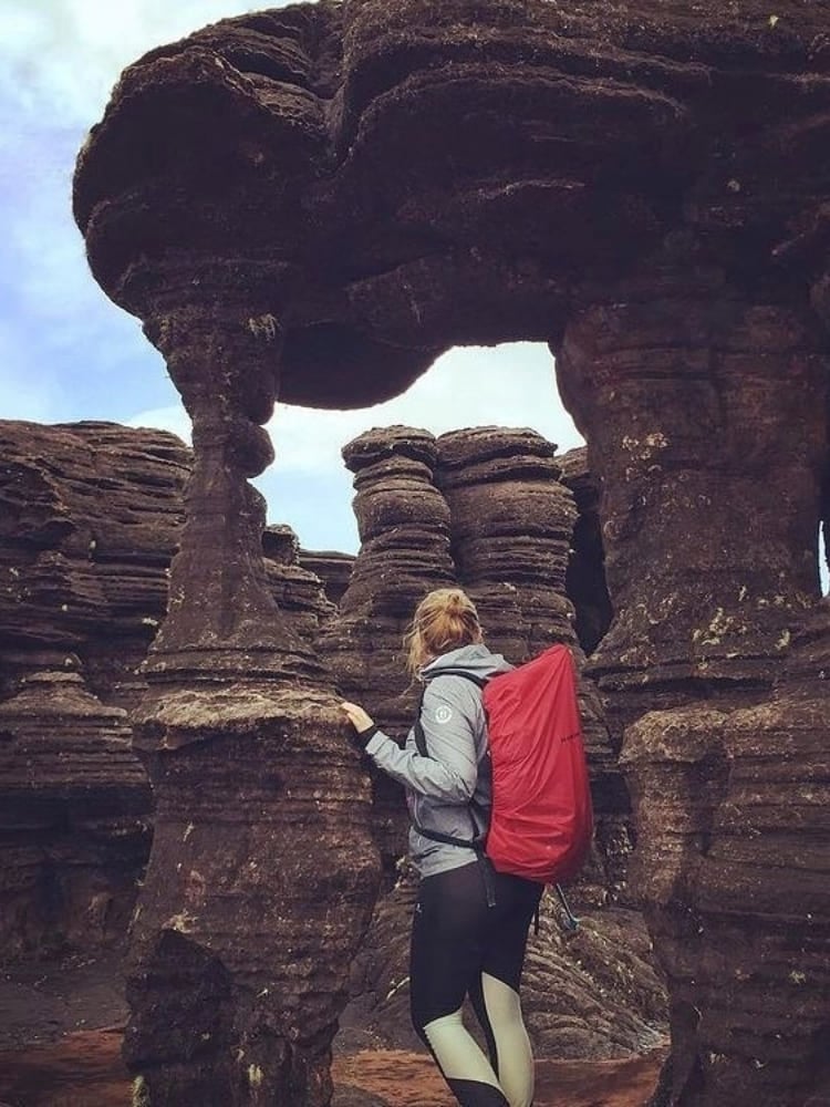
The geological value is a well-known fact about Mount Roraima. On the plateau, visitors are captivated by panoramic views and rock formations, including the massive Maverick Rock and La Ventana, the opening that beautifully frames the landscape.
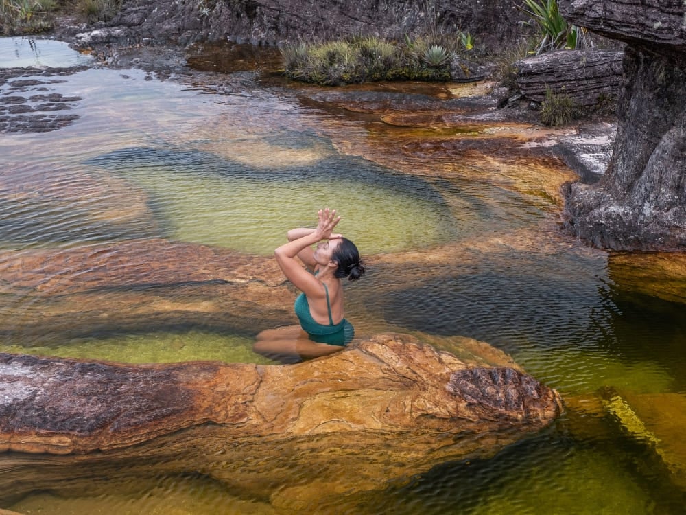
Heavy rainfall feeds the rivers and the famous “jacuzzis”, various natural pools carved into the quartzite by streams crisscrossing the plateau. The dark waters of the enigmatic Lake Gladys and El Foso, a water-filled pit 20 meters deep, are also unmissable attractions.
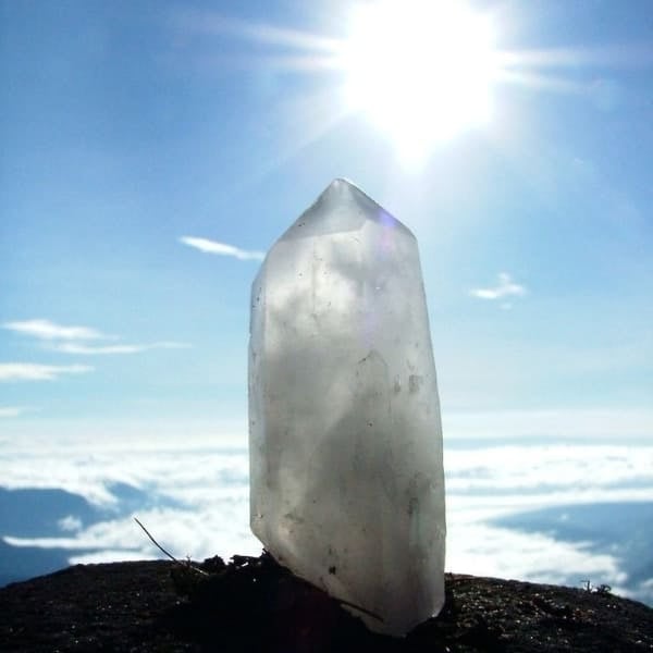
In the Valley of Crystals, millions of quartz crystals cover a shallow depression in the sandstone. Formed an estimated 1.8 billion years ago through sedimentation and quartz crystallization, these crystals are believed by local indigenous peoples to be fragments of stars that fell to earth when Makunaíma cut down the original Tree of Life.
👉 Read more: What’s on top of Mount Roraima?
10. Reaching the top of Mount Roraima takes 8 to 10 days of trekking
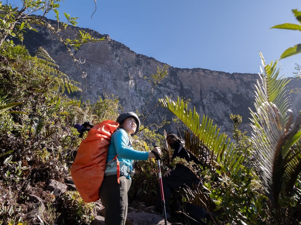
Here’s a fact about Mount Roraima you should definitely know if you’re interested in visiting: while the trek doesn’t require climbing gear, it is physically demanding. Most tours take between 8 and 10 days round-trip and involve hiking 80–90 km through jungles, rivers, and steep terrain.
Although seasonal factors and logistical arrangements affect daily visitor numbers, peak periods see an estimated 100 to 200 trekkers distributed along the trail and across various areas of the mountain. The final ascent includes the “Rampa,” a narrow natural path leading to the summit, where the landscape changes dramatically.
Due to the elevation and constant cloud cover, temperatures at the summit can vary greatly, from 5°C at night to over 25°C during the day. The climate is defined more by Venezuelan seasons than Brazilian ones, with a wetter season from May to September and drier months between December and March. Sudden weather shifts are common, so visitors should be prepared for rain and cold at any time.
Exploring Mount Roraima with PlanetaEXO
Now that you know the key facts about Mount Roraima, it’s time to experience this fantastic place firsthand!
At PlanetaEXO, an ecotourism platform specializing in Mount Roraima tours, you’ll find experiences that offer authenticity and a positive impact on every front. To ensure the vacation of your dreams, our team of experts takes care of everything, from logistical details to tailor-made itineraries. Contact us now!
Keep reading
October 1, 2026
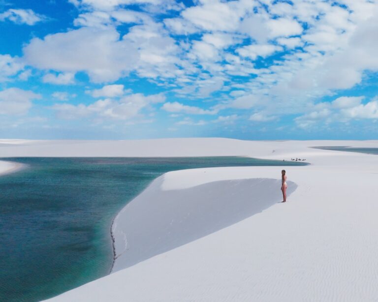
PlanetaEXO’s new mini-doc showcases ecotourism in Lençóis Maranhenses
In “Lençóis Maranhenses: Far From The Crowds, Close To What Matters”, PlanetaEXO’s mini-doc shows how ecotourism is changing life for local communities.
September 30, 2026
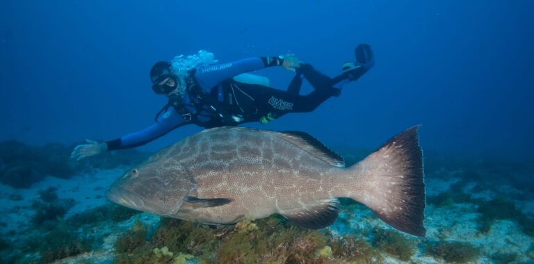
Best Dive Sites in Fernando de Noronha: 21 Spots by Depth and Level
The 21 best dive sites in Fernando de Noronha, with depth, seaside, and level for each, from 8 m beginner reefs to the 62 m Corveta Ipiranga wreck.
September 28, 2026
Lovely, Overwhelming, Total Joy: Maja’s 15-Year Wait for Lençóis Maranhenses
15 years of waiting, a 6-day full itinerary, and dunes like snow: a retired Slovenian professor’s honest account of Lençóis Maranhenses.